
Changchun Smart Environmental Protection Platform
Presenting the real-time situation of urban environment with "one map"
Editor: STOYARD BEIJING
2021
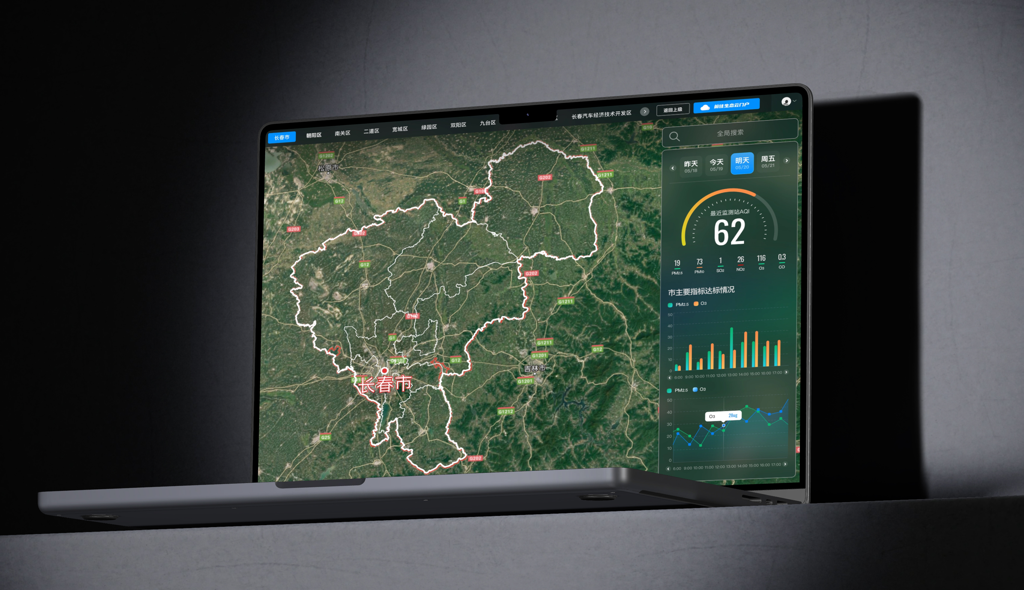
This project is oriented to urban environmental supervision and command decision-making scenarios, with "a map to grasp the state of the city environment" as the core, to build Changchun intelligent environmental protection real-time data screen.
The design takes geographic information as the main spatial carrier, and integrates the business of water environment, atmospheric environment, soil environment, natural ecology, solid waste management and emergency management. Through the linkage display of regional maps, monitoring indicators, trend charts and abnormal states, it helps managers quickly locate problems, judge trends and retrieve relevant data.
Visually, the dark interface is combined with the satellite map, and the data type and warning level are distinguished by high-recognition colors such as blue, green and orange, so as to maintain a clear reading level while accommodating a large amount of information. The modular information structure also provides a good foundation for the continuous expansion of different environmental services, so that the platform can take into account the needs of real-time monitoring, comprehensive analysis and command and dispatch.
The design takes geographic information as the main spatial carrier, and integrates the business of water environment, atmospheric environment, soil environment, natural ecology, solid waste management and emergency management. Through the linkage display of regional maps, monitoring indicators, trend charts and abnormal states, it helps managers quickly locate problems, judge trends and retrieve relevant data.
Visually, the dark interface is combined with the satellite map, and the data type and warning level are distinguished by high-recognition colors such as blue, green and orange, so as to maintain a clear reading level while accommodating a large amount of information. The modular information structure also provides a good foundation for the continuous expansion of different environmental services, so that the platform can take into account the needs of real-time monitoring, comprehensive analysis and command and dispatch.




Thank for you.
Contact